The Harbour Line terminal connects trains, trams and three ferry routes under one long roof. Travellers have about ninety seconds to make a decision. Our job was to make that decision obvious.
We started with a walk-through at rush hour, timing how long people stood still at each junction. The worst spots were not where signs were missing but where too many signs competed.
Fewer, larger, closer
We removed half of the existing signs and made the rest larger, placing them exactly where the decision happens rather than where a wall happened to be free.
Gates got single letters in coloured circles. Platforms got numbers you can read from forty metres. Everything else became secondary information in a smaller size.
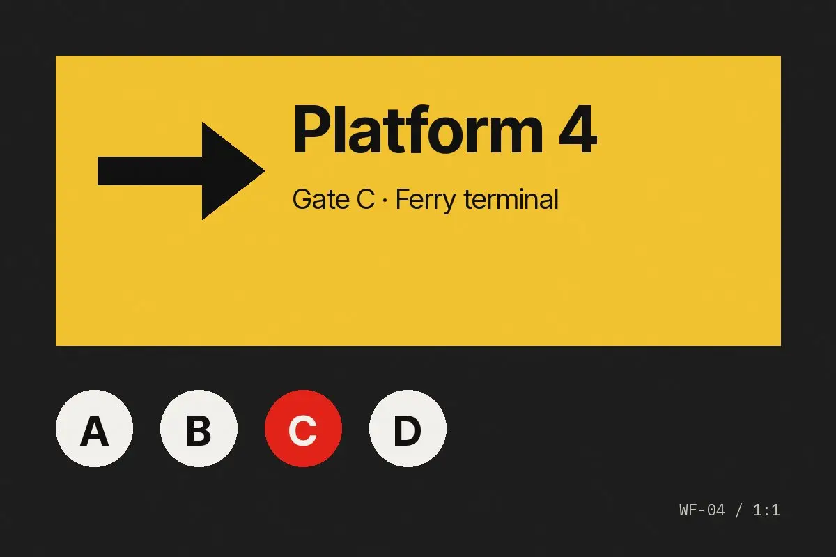
Average standing time at the main junction dropped from eleven seconds to four.